


Iron-Age-Danube app for iPhone and iPad
Developer: MTA SZTAKI
First release : 19 Sep 2019
App size: 40.29 Mb
GPS driven walks and tourist information for Iron-Age Danube basin.
The GUIDE@HAND Walks are created to help you see new places, objects and patterns and discover the past and present of the iron age sights with a fresh perspective. Our Guided Walks are designed in a way that you can simply use your mobile device as a Guide. It will help your discovery by navigating you from one point of interest to the next and you will be presented all information and stories at the right time. With GUIDE@HAND you can always determine your location, see where you are on the map. You can also view pictures/images of the sights or read what you have seen previously.
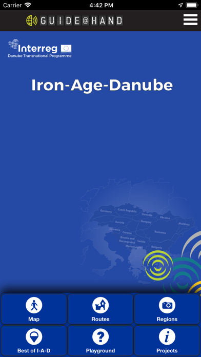
The main objective of the Iron-Age-Danube project is on exhibiting, promoting and managing Iron Age archaeological heritage of the Danube river basin. Additionally, the project foster international research, protection and sustainable use of important Iron Age landscapes in Austria, Croatia, Hungaryand Slovenia, among them the micro-regions of Großklein (AT), Strettweg (AT), Jalžabet (CRO), Kaptol (CRO), Poštela (SI), Dolenjske Toplice (SI), Százhalombatta (HU), Süttő (HU) and Sopron (HU).
What to gain by getting GUIDE@HAND?
INSTALL:
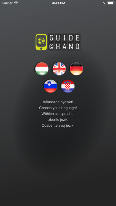
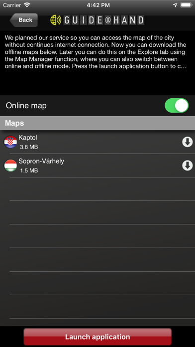
By installing Iron-Age-Danube GUIDE@HAND, you already have access to our offline maps. Your current location will be indicated on the map and you can easily browse various services (POIs) available in the vicinity of your location. You can set the default language here.
DOWNLOAD A WALK:
By downloading one or more of our site walks from the "Walks" tab, you will enrich your map with much new sightseeing information, points of interest, pictures and descriptions.
Have fun and enjoy discovering!